
Most roads can take you to where you want to go. But all roads- if you pause long enough to think about it-can carry you back in time.
On a recent road trip to Scotts Bluff National Monument in Gering, Nebraska (only three hours northeast of Denver, Colorado), I stood at an intersection where several historic paths converge. Located within the ancestral homelands of the present-day Arapaho, Cheyenne, Pawnee, and Lakota are several geologic features that have stood as landmarks over the centuries.
One such feature is now known as Scotts Bluff, named after Hiram Scott, who was a mid-level employee for the Rocky Mountain Fur Company. Although there are multiple histories as to his final days, it is said that Scott was on his way back from a fur trading rendezvous when he died near the bluff in 1828. By the time prairie schooners and covered wagons made their way to the area in 1830, the bluff was already known as Scotts Bluff.

As settler colonialism dominated the 19th century, many people traveled west in search of land and farming opportunities. From 1841 to 1869 as many as 250,000 emigrants passed by Scotts Bluff. As you stand atop Scotts Bluff you can look in multiple directions and know that you are looking out at several of the famous emigrant overland trails: the Oregon National Historic Trail, the California National Historic Trail, the Mormon Pioneer National Historic Trail, and the Pony Express National Historic Trail (For more information about America’s historic trails, check out the National Historic Trail System website). Most of the above trails followed the same path as they traversed from Missouri or Kansas until they got to Wyoming, then they started to split off towards Oregon, California, or Utah. It was really interesting to stand in this spot and reflect on the history that surrounds this landscape.
Hiking at Scotts Bluff National Monument
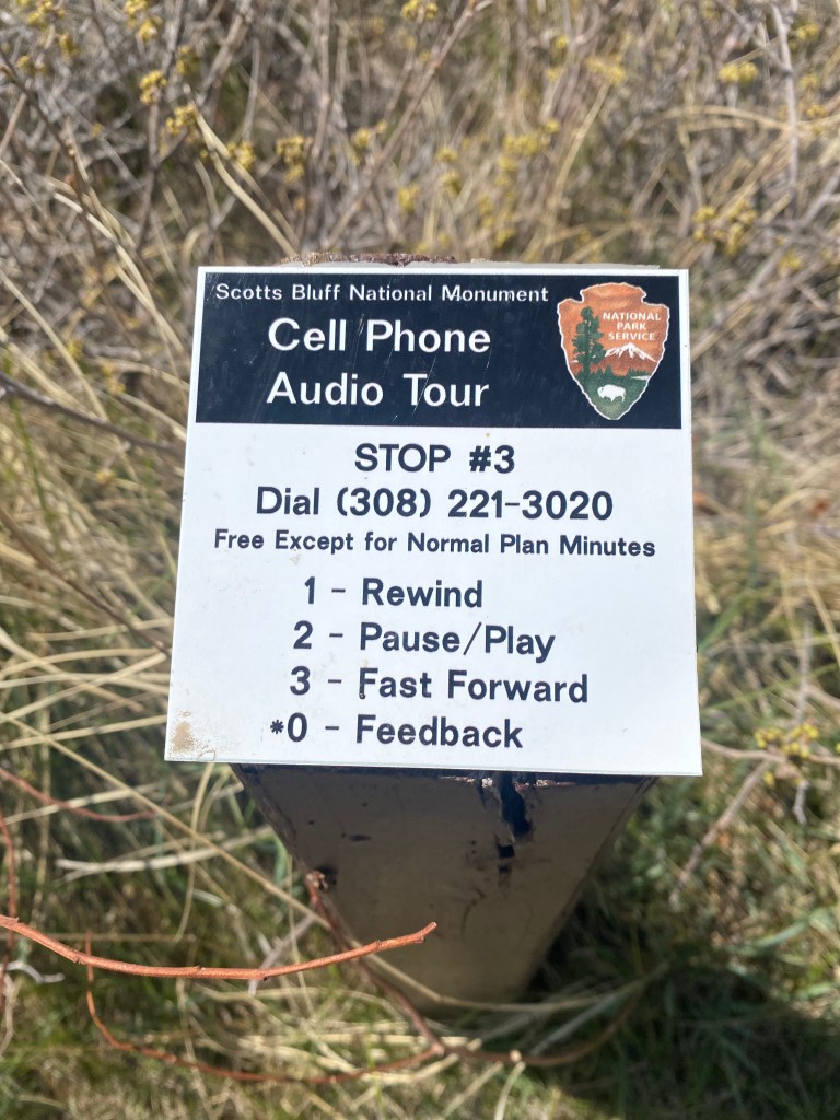
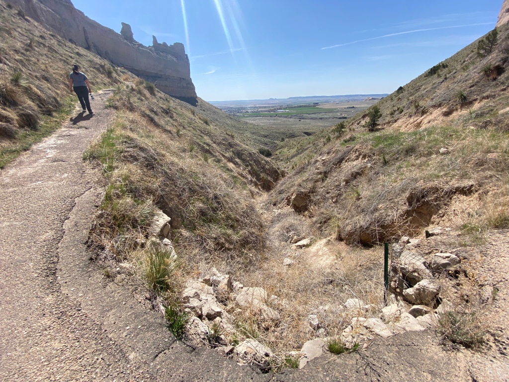
The Saddle Rock Trail winds its way up and around to the summit of the bluff, and even has a short, hand-carved tunnel! (It is quite evident this tunnel was hand-carved; you can even see the finger marks throughout!) This hike is 3.2 miles roundtrip from the visitor center. As you climb to the summit, the views of the bluff and the valley are constantly changing. There’s also a nice audio tour along the trail, which provides tidbits of history as you hike (cell phone required).
Hikes that originate on top of the bluff:
North Overlook Trail originates at the northeast corner of the summit parking lot. This half mile trail consists of a nice overlook of the North Platte River Valley, including the towns of Gering and Scottsbluff.
South Overlook Trail starts at the southeast corner of the summit parking lot. This short asphalt path leads to views of remnants of the Oregon Trail, Mitchell Pass, and the Visitor Center.

Driving the Scotts Bluff Summit Road:
Scotts Bluff Summit Road is a 1.6 mile drive to the top of Scotts Bluff. The road is only open during the day (hours vary by season). Trailers and vehicles longer than 25 feet and higher than 11ft, 7 in. are prohibited.
Safety Tips:
- Be aware of changing weather patterns
- Bring water and sunscreen
- Be aware of prairie rattlesnakes in the area. Do not let small children wander away from you. Stay on paved trails.
Junior Rangers Wanted


One thought on “Scotts Bluff National Monument: A Place Where Several National Historic Trails Converge.”